A view beyond the treetops.
Imagine being able to facilitate your work, reduce working hours, and make it easier for you to plan, decide, and discuss everything that concerns your real estate.
Drone imagery has a wide field of application areas and here are some examples to get you inspired and think even broader. If the forest is your business, we are sure that you will understand the potential of the material we can offer.
Please don’t hesitate to contact us for further information.

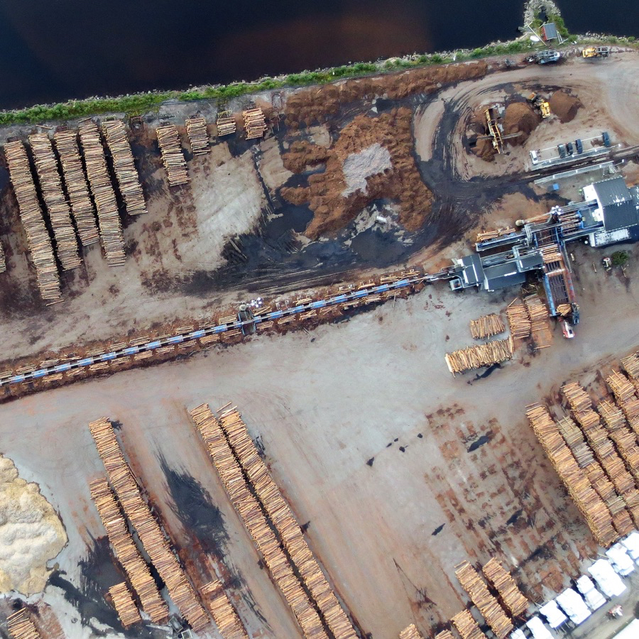
Inventory
Get a good overview of your property. Where is an action necessary?
Our imagery provides you with data for analyzing stockpiles and inventory, measuring volumes, and the opportunity to implement the data in eg pcSkog, Qgis or other GIS applications.

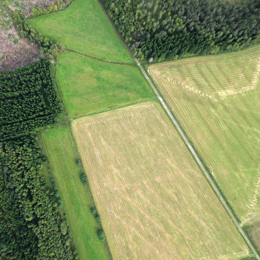
Vehicle damage
What does the area look like after an operation?
Measure areas and decide where an action is necessary. Determine the optimal route to minimize damage.

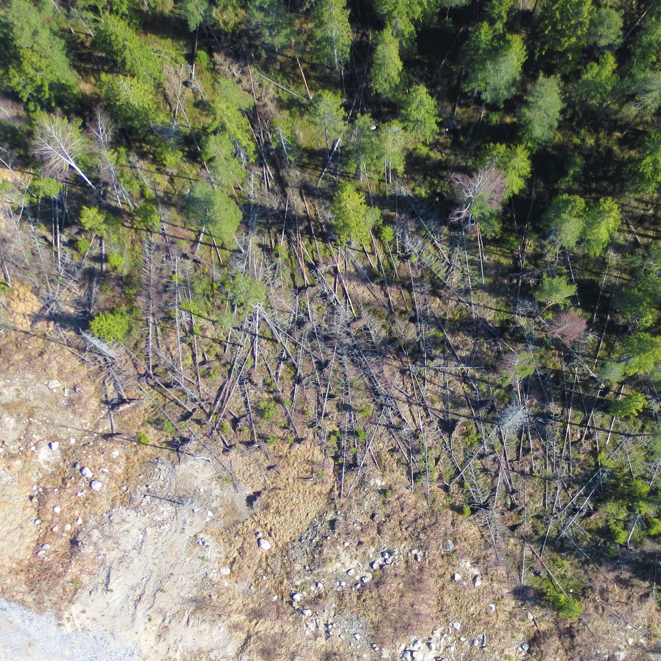
Windfall
Has your property been affected by a storm or flooding?
An overview with georeferenced images can provide a good basis for further investigation and a documentation to show insurance companies and others involved.

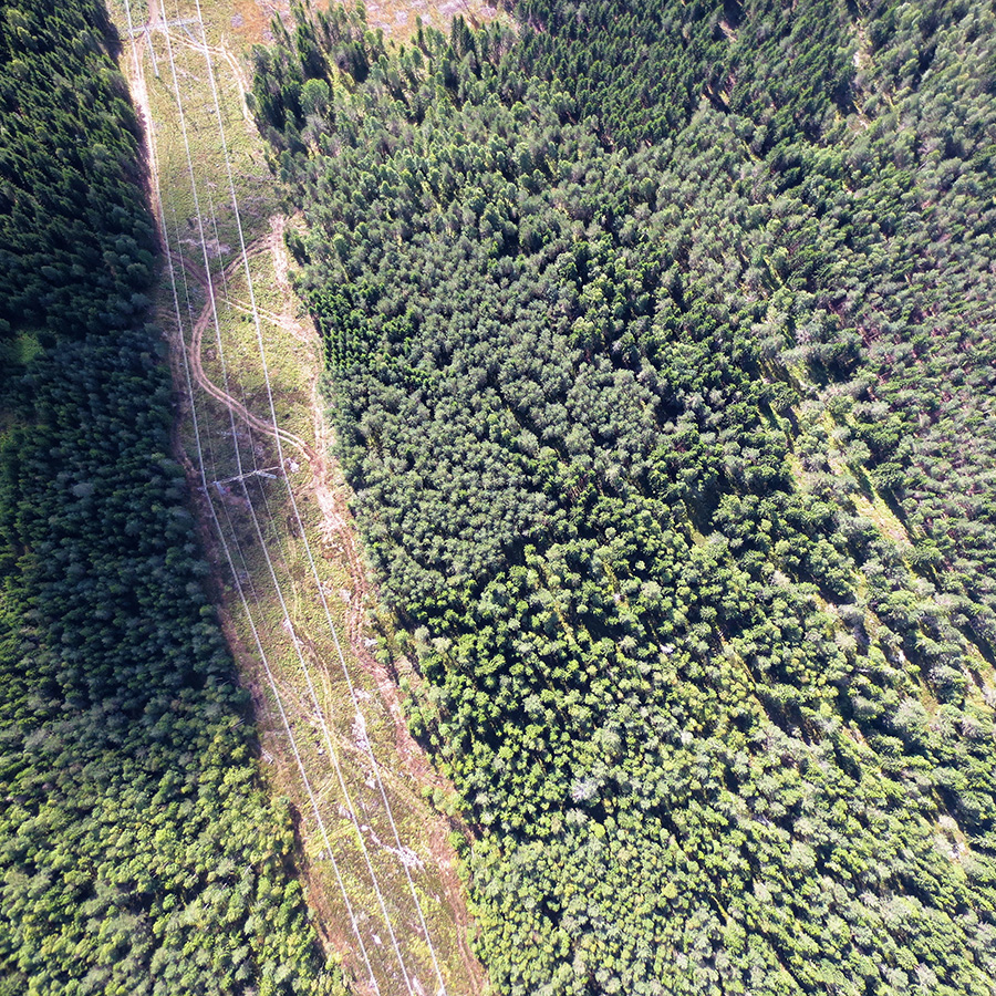
Planning
In what way can you, as a forest owner, streamline the operations, which route should you take?
With our images as a basis, the efficiency of your planning will increase dramatically. Both time and money is saved.

