To the rescue.
When disaster strikes, you need accurate data and you need it quick. By flying over an affected area, drones can provide a virtually instant overview of disaster damage and potential needs – safely, and without interfering with ongoing rescue operations.
Unmanned Aerial Systems (UAS) or drones have great potential to reduce health and safety risks and improve the efficiency of collecting crucial data during an emergency response situation. Drones can perform critical tasks as disasters unfold, including spotting people in need of urgent help. Our drones can also provide help in the aftermath of disasters — for example, to assess damage to buildings, roads and bridges, and power lines.
These types of observations are typically made using trained observers who fly in helicopters or planes or via direct field inspections. Drones have the potential to provide an improved approach to making these observations as they reduce the health and safety risks of putting people in aircraft or in high-risk environments such as rugged/rocky coastlines. Speed of deployment is another advantage – drones can be available for immediate launch without the lead time needed to ready an aircraft and pilot for takeoff.
Please don’t hesitate to contact us for further information.
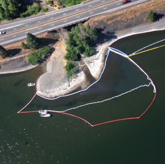
Oil spill
We can measure the spreading of a discharge, useable to document course of events, eg. how it moves with winds and currents.
This can then be used for planning for remediation deployment.
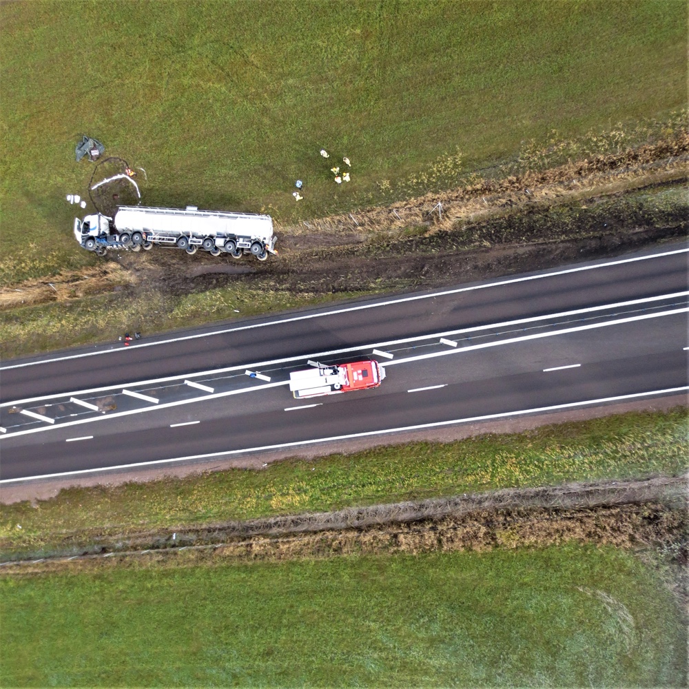
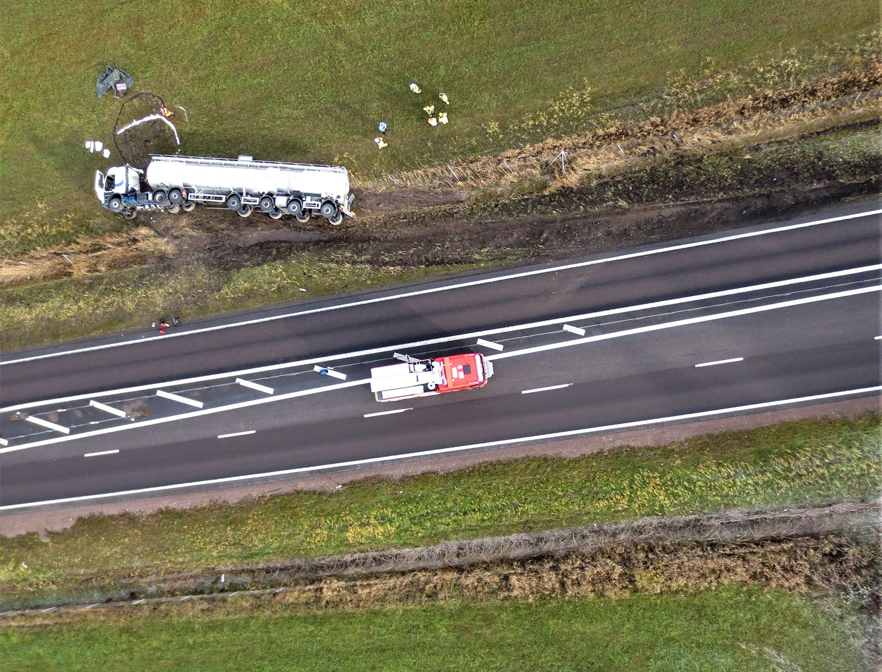
Traffic accidents
Make measurements, extent, and get a good overview of the accident area. Quickly share with others taking part in the rescue effort.
Added value in the information such as weather conditions, distances, and to make sure that the site has been restored properly afterwards.
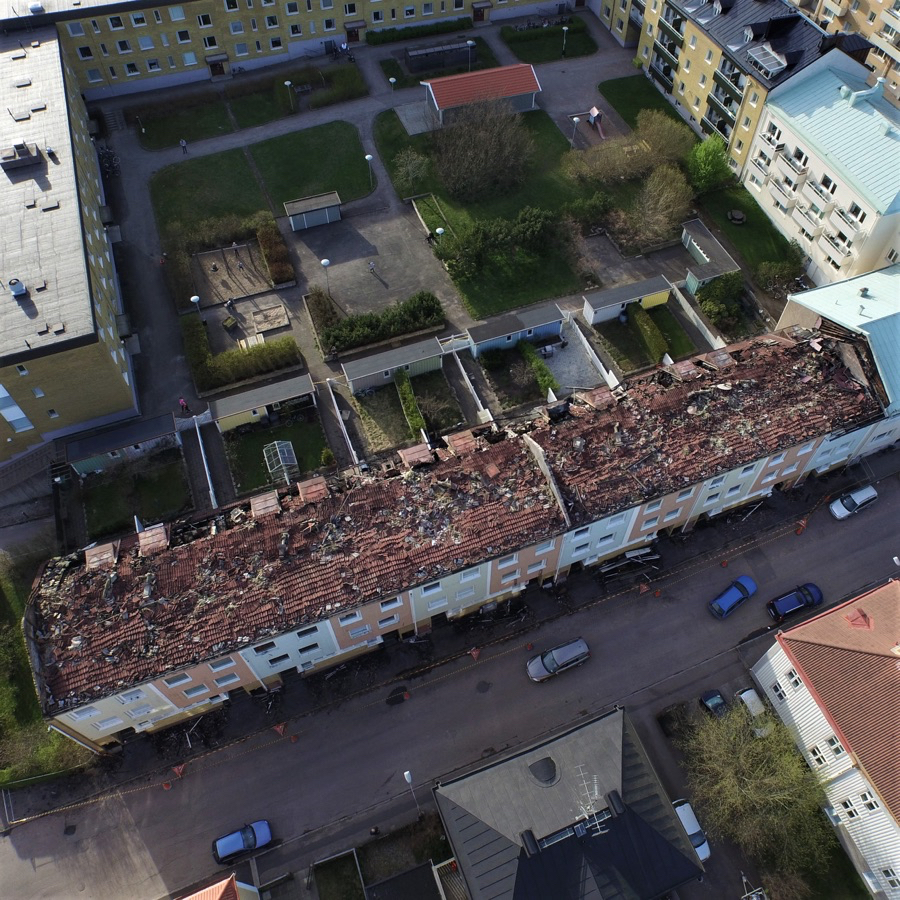
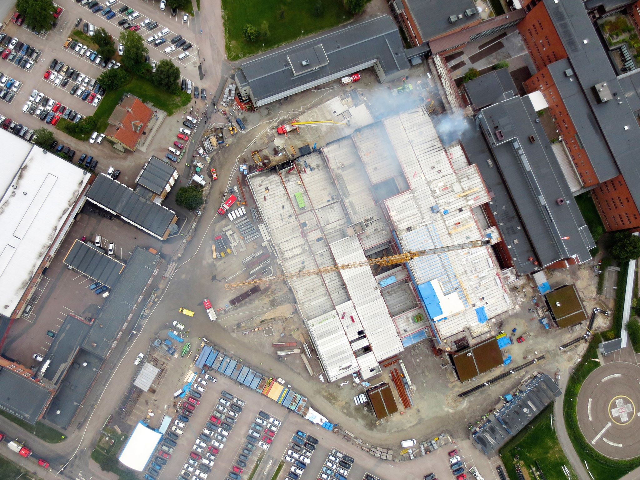
Fire
Observe propagation, conditions, what the cause of the fire might have been and where it started.
Also useful for determining possible access points and planning eg. measuring the width of roads to ensure access and evacuation. Quickly share the information with others involved in the effort.

Flooding
Measure elevation levels to locate areas with increased risk of flooding. Get a clear before-after visualisation of vulnerable areas. Support for insurance companies.
Projects
What: Traffic accident with trailer truck carrying dangerous goods
Location: E18, Karlstad, Sweden
Drone: senseFly eBee
Delivery Time: 24 hrs after flight
Challenges: Quick data turnaround
Statistics:
- 1days
- 1 flights
- 20 min flight
- 0,5 km2 coverage
- 80 images total
- 4cm/pixel
Output: 1 orthomosaic covering accident area.
Results: Emergency services were able to get a comprehensive overhead view of the accident site which helped the operation.
Quote:
“Being able to “freeze” a course of events with a georeferenced image at the time of the accident was extremely helpful in the investigation”
Morgan Palmqvist
Chief fire officer, Värmland Rescue Service
What: Hospital fire
Location: Karlstad, Sweden
Drone: senseFly eBee
Delivery Time: 24 hrs after flight
Challenges: Quick data turnaround
Statistics:
- 1 days
- 1 flight
- 30 min flight
- 0,5 km2 coverage
- 200 images total
- 4 cm/pixel
Output: 1 orthomosaic covering accident area.
Results: Emergency services were able to get a comprehensive overhead view of the accident site which helped responders and in the investigation.
What: Plane Crash aerial photography
Location: Bwabwata National Park, Namibia
Drone: senseFly eBee
Delivery Time: 24 hrs after flight
Challenges: Quick data turnaround
Statistics:
- 1 day
- 3 flights
- 2 flight hrs
- 1 km2 coverage
- 600 images total
- 4 cm/pixel
Output: 1 orthomosaic covering the larger crash area.
Results: Local authorities and emergency services were able to get a quick overview of the accident area with the assistance of our drones, which facilitated dramatically in their initial investigation. Aerial photo maps or orthoimages were taken over the large area where the aircraft had crashed. In addition, we could provide information to local authorities on how and where the crash had started.
“I wish to express my particular gratitude towards your assistance in the investigation.”
– M. Nehgola Ericksson, Namibian transport minister


