Measure from images.
Through the use of professional photogrammetry software, our images can be turned into highly precise, georeferenced 2D maps and 3D models with detailed illustrations of land features. This type of precise information is critical for a wide range of commercial, industrial and residential applications.
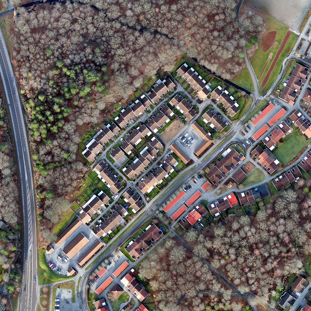
Orthomosaic raster image
GeoTIFF (.ti ), KML (.png/.kml)
Compatible with:
– Esri ArcGIS
– Global Mapper
– QGIS
– Autodesk
– DraftSight
– GeoMedia
– Erdas Imagine
– Google Earth
and all leading brands of remote sensing & GIS software
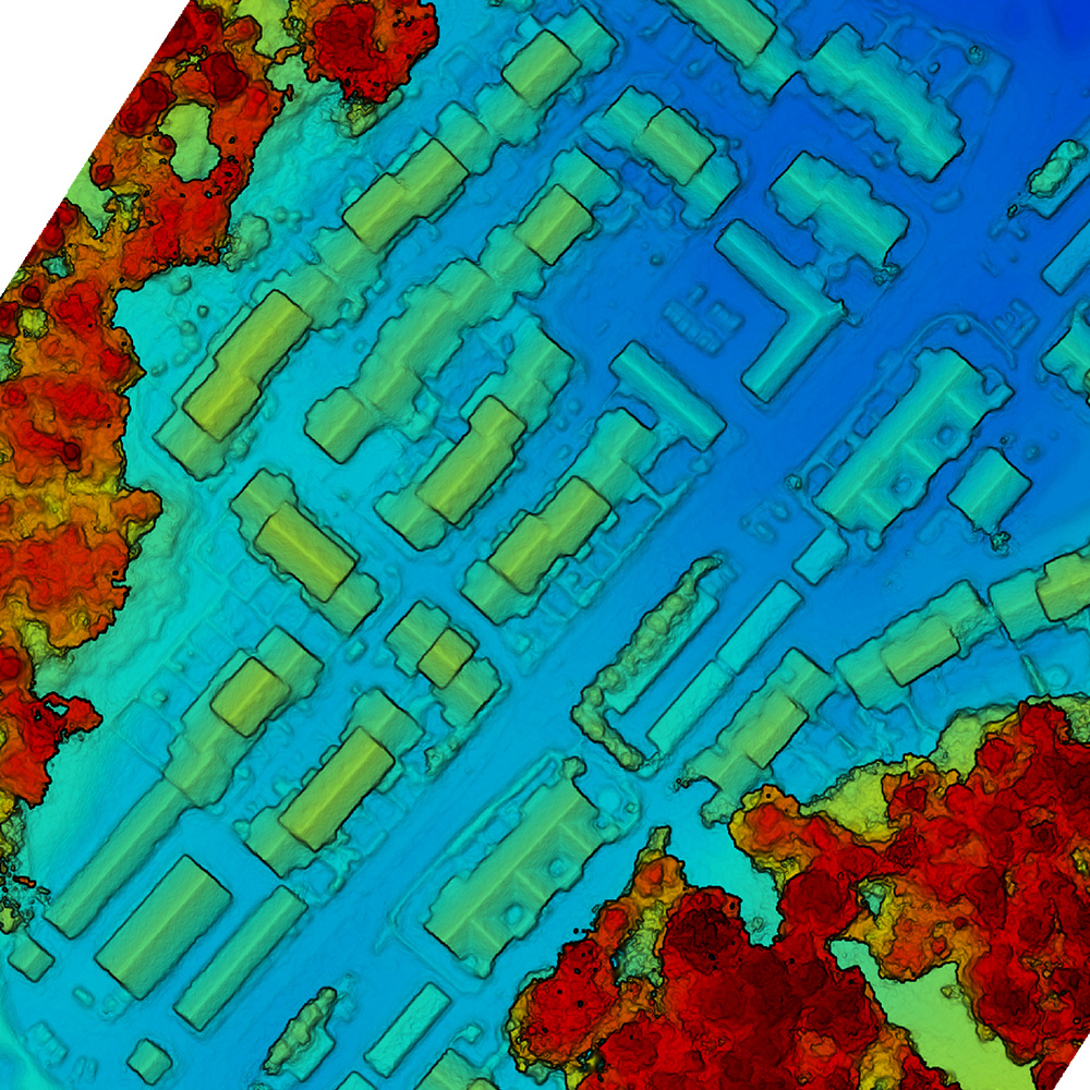
Digital surface model
GeoTIFF (.tiff)
Compatible with:
– Esri ArcGIS
– Global Mapper
– QGIS
– Quick Terrain
– GeoMedia
and all leading brands of remote sensing & GIS software
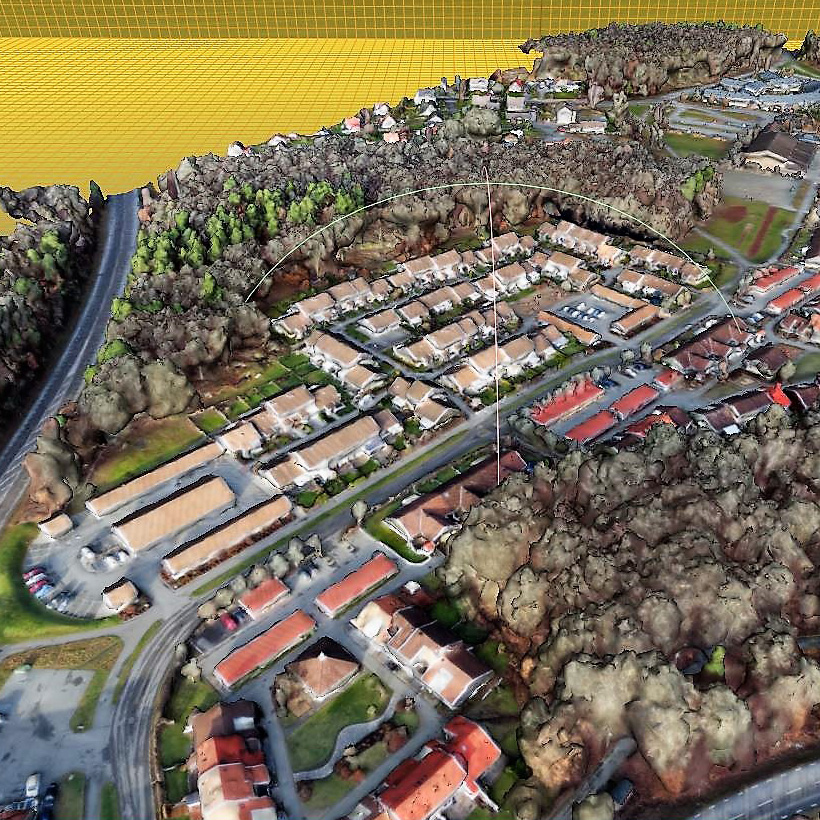
3D mesh with texture
Wavefront (.obj)
Compatible with:
– Autodesk
– Bentley MicroStation
– ccViewer
– 3DReshaper
and all leading brands of 3D modelling software
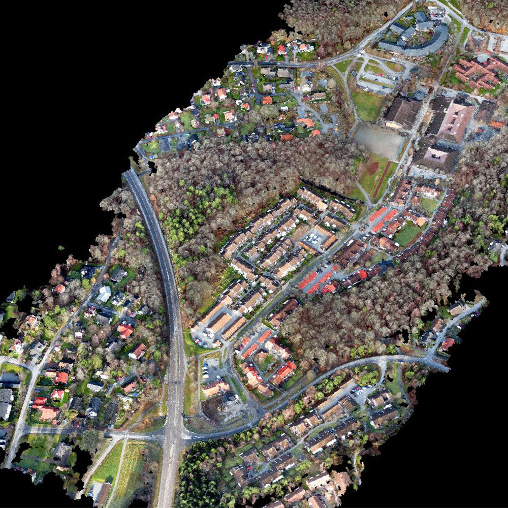
3D point cloud
.las, .laz, .ply, .ascii
Compatible with:
– I-Site Studio
– Esri ArcGIS
– Global Mapper
– Autodesk
– Quick Terrain
– 3DReshaper
– Trimble RealWorks
– Bentley MicroStation
and all leading brands of survey / 3D scanning software
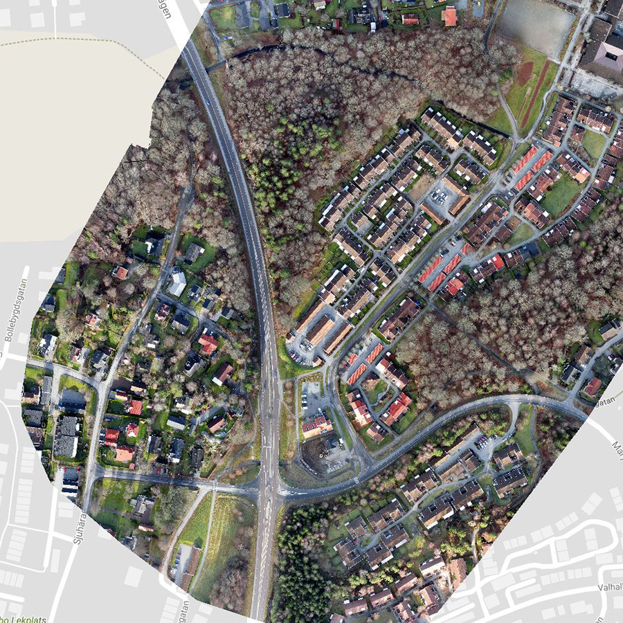
Google Maps
KML tiles (.png/.kml)
Compatible with:
– Google Maps
– Mapbox
– Google Earth
and other map servers
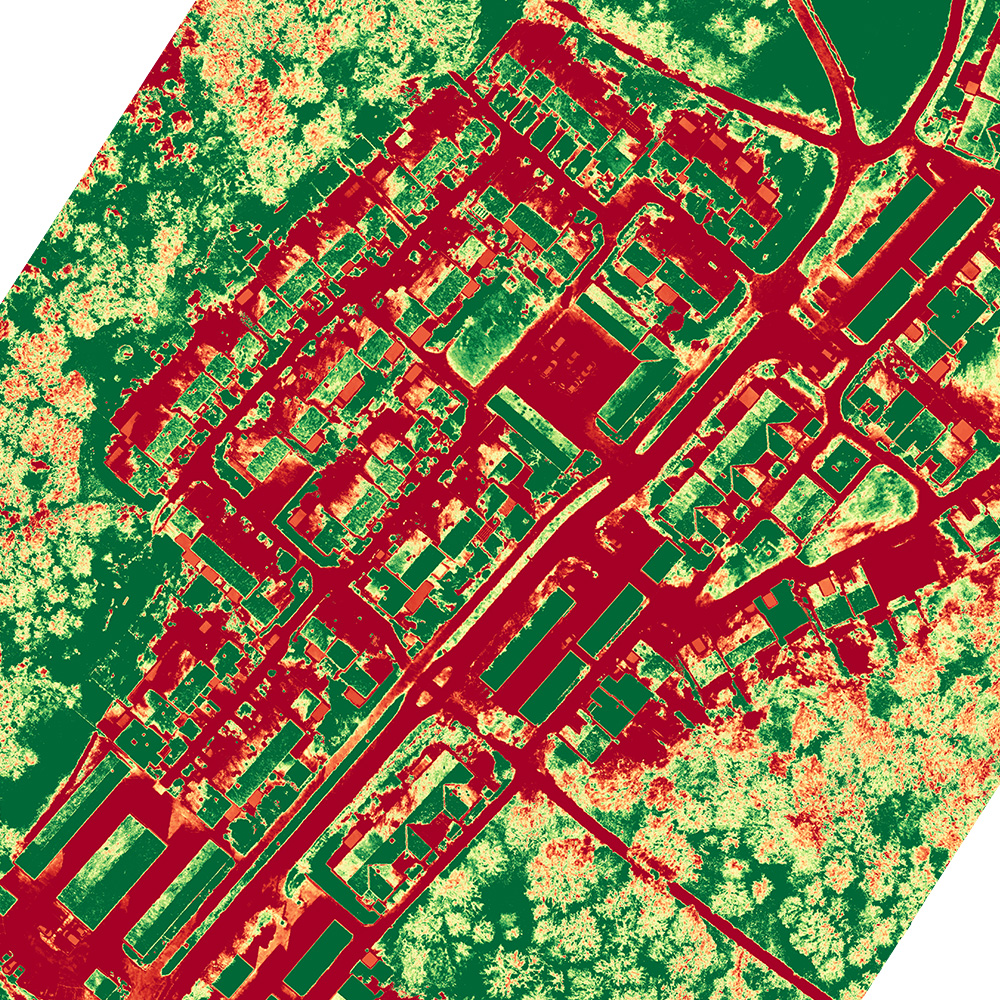
Index map
GeoTIFF (.tiff ), .shp
Compatible with:
– SMS (Ag Leader)
– AgPixel
– QGIS
– Esri ArcGIS
– Global Mapper
and all leading brands of GIS software
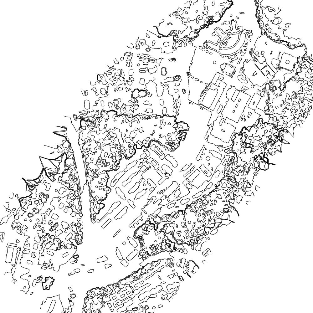
Contour lines
.dxf, .shp
Compatible with:
– Vulcan
– I-Site Studio
– Autodesk
– DraftSight
– Esri ArcGIS
– QGIS
– Surpac
and all leading brands of mining / survey software
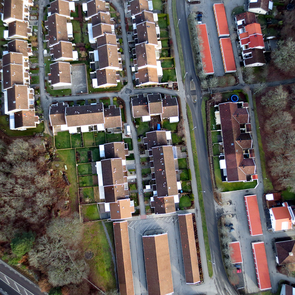
Undistorted images

